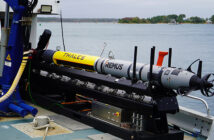
An Australian-developed fibre optic gyroscope is being trialled in the Timor Sea as part of a hydrographic survey project aimed at improving seabed mapping in an area described as an important shipping lane.
Canberra-based Forge Photonics said it is testing its inertial navigation technology with Revelare Group, which is mapping about 5,700 square nautical miles between The Boxers and Lynedoch Bank, north-west of Darwin.
Forge Photonics develops inertial systems intended to help ships, land vehicles and uncrewed systems track movement and estimate position with reduced dependence on satellite navigation signals, the company said. The start-up said it has backing from HostPlus and IP Group Australia.
Revelare Group chief technology officer Geoff Lawes said parts of the Timor Sea area being surveyed have not been mapped to current standards and may include hazardous seabed.
“Accurate seabed mapping depends on more than sonar alone,” Lawes said. “We need very accurate trajectory data to position the sonar measurements, and we are evaluating Forge’s new fibre optic technology alongside current overseas sourced, but state-of-the-art navigation systems.”
Revelare said its subsidiary, Revelare Hydrospatial, is conducting the Timor Sea survey activities under the Australian Government’s HydroScheme Industry Partnership Program (HIPP).
Forge Photonics chief executive Dr Justin Wong said the area’s oceanographic and meteorological conditions made it suitable for evaluating next-generation inertial navigation systems against established systems. “It is an ideal testbed for evaluating how well next-generation inertial navigation systems perform alongside established systems,” Wong said.
Lawes said the technology’s use of locally mass-produced telecommunications components could support supply-chain resilience. “It’s reassuring to see a technology solution that enables critical components to be readily sourced in the local market, adding to Australian supply-chain resilience,” he said.
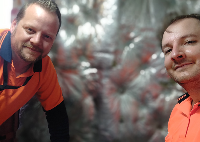
Wong said the Forge Photonics team’s background includes work at the Australian National University on precision measurement for gravitational-wave research, and said the company is applying that capability to navigation where satellite signals are degraded, unavailable or unreliable. He said potential markets include uncrewed defence platforms such as ships, submersibles and vehicles, as well as civil uses including shipping, precision drilling and autonomous mining vehicles.