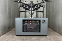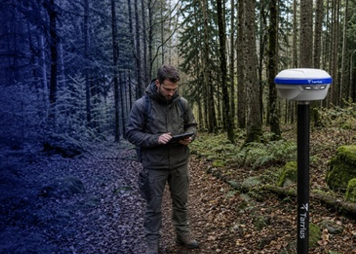
Quectel Wireless Solutions has announced the launch of Tarrius, a precision positioning brand the company says will focus on “spatial intelligence” and high-accuracy field applications such as surveying and mapping, deformation monitoring and machine guidance.
According to Quectel, Tarrius will operate across APAC, Latin America, EMEA and China, combining positioning technology with Quectel’s engineering, manufacturing and support operations. The company said the offering is intended to support field workflows that rely on accurate GNSS data and dependable connectivity.
Quectel said Tarrius will debut with a portfolio of GNSS hardware and software, including GNSS receivers, reference stations, field controllers, monitoring and guidance receivers, and high-precision antennas. The portfolio also includes software for field work management, correction services and monitoring projects.
The company said the products will be demonstrated at INTERGEO in Munich from 15–17 September and will be commercially available in November 2026.
Specific products named in the announcement include the TR10 and TR12 surveying receivers, the TR12B base station option with a built-in 5W UHF radio (Quectel says up to 15km coverage), the TR09N reference station designed for continuous operation, and the TR07M and TR07B receivers aimed at deformation monitoring deployments. The range also includes the TR05G, described as a heading and guidance receiver for machine control applications.
For organisations in construction, civil engineering, mining and infrastructure monitoring, GNSS-based positioning systems are increasingly part of digital transformation and automation efforts. The launch signals continued vendor expansion into surveying and monitoring markets where accuracy and uptime requirements can be operationally and safety critical.