
Advanced Navigation has successfully demonstrated a hybrid solution for long-endurance global navigation satellite system (GNSS) denied navigation, proving that a software-fused inertial-centred architecture is the defining standard for autonomy.
This advancement was achieved by integrating a strategic-grade fibre-optic gyroscope (FOG) inertial navigation system (INS) with a new class of navigation aid – a Laser Velocity Sensor (LVS). The result is a fused hybrid architecture that delivers unprecedented precision and reliability in even the most challenging environments.
“The world is evolving, and navigation must evolve with it,” said Advanced Navigation CEO Chris Shaw. “GPS is disturbingly vulnerable to challenging environments, harsh weather conditions and cyberattacks with rising threats of jamming and spoofing. The question isn’t if GPS will fail, but when. Operators need to build resilience now.”
“This hybrid solution is designed with adaptability and reliability in mind,” he adds. “While others focus on individual components, Advanced Navigation champions a layered, inertial-centered, multi-sensor architecture fused together by intelligent software. This approach can be updated or modified to adapt to harsh environments and mission requirements.”
At the centre of every usable navigation platform is a trusted source of truth: the INS. Advanced Navigation’s FOG INS, which is sensitive enough to detect the Earth’s rotation, provides that foundation by delivering precise attitude.
Complementing this, Advanced Navigation’s LVS uses infrared lasers to measure a vehicle’s ground-relative 3D velocity with exceptional accuracy and long-term stability. Unlike conventional sensors, LVS performs reliably on both ground and airborne platforms, as long as it maintains a clear line of sight to the ground or a stationary surface.
Beyond its role as a velocity aid, LVS also improves navigation resilience by detecting GNSS spoofing. By comparing its independent velocity measurements against GNSS-derived velocity, LVS adds an extra layer of security to assured positioning, navigation, and timing strategies.
AdNav OS Fusion draws on sophisticated algorithms to interpret and filter sensor data. The software is designed to dynamically weigh the input from each sensor, adjusting in real time based on reliability scores, environmental conditions, and operational context. This ensures continuous, high-confidence state estimation even when signals are lost, degraded, or distorted. This inertial-centered, multi-sensor approach delivers a step-change in GNSS-denied navigation performance compared to traditional methods.
Proven capabilities with real world data
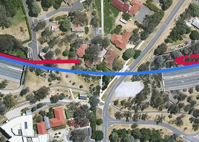
To validate the accuracy and resilience of the LVS Hybrid system, Advanced Navigation conducted a series of real-world driving tests. Across five trials, the system delivered exceptional performance with an average error per distance travelled of 0.053% compared to a GNSS reference.
At the starting point, GNSS on the INS was disabled in the state estimation process, forcing the system into dead-reckoning mode. RTK GNSS was logged separately as a reference. This approach allows for a direct comparison between the computed dead-reckoning solution and a trusted position reference.
These drives were done repeatedly, demonstrating consistent and reliable results each time.
The Hybrid system was also tested on a fixed-wing aircraft combined with a tactical-grade INS, demonstrating a final error per distance travelled of 0.045% over a low-altitude flight of 545 kilometres. These results demonstrate the system’s impressive ability to improve navigation performance of the INS in GNSS-denied or contested scenarios.
Commercialising space to Earth
LVS is a terrestrial adaptation of LUNA (Laser Unit for Navigation Aid), a space-grade navigation technology developed for autonomous lunar landings. LUNA enables reliable navigation in the harsh environment of space by providing precise three-dimensional velocity and altitude information relative to the Moon’s surface. The result of several years of research and development, LUNA is set to be demonstrated aboard Intuitive Machines’ Nova-C lander as part of NASA’s Commercial Lunar Payload Services program.
By leveraging the engineering insights gained from LUNA, LVS adapts space technology into an Earth-ready solution for terrestrial GNSS-denied navigation.
What this means for the future of navigation
Relying on a single sensor technology (such as GNSS or IMU) is no longer viable. Missions increasingly occur in GNSS-denied, electromagnetically noisy, and physically complex settings where traditional systems falter.
Robust navigation demands a layered, inertial-first and multi-sensor architecture – held together by intelligent software – that can adapt and scale to meet the unique demands of each mission. Advanced Navigation’s architecture means updates and enhancements can be deployed with minimal hardware disruption. This paradigm shift ensures resilient navigation for critical applications across defence, aerospace, robotics and autonomous systems.


