
Public safety operations are becoming more complex, time-critical and data-driven, increasing pressure on frontline teams to assess situations quickly and respond with precision.
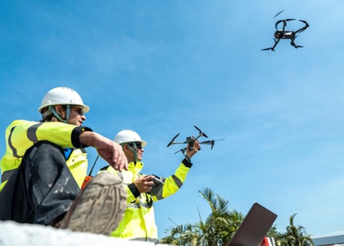
Drone reconnaissance is now widely used across police, emergency services, search and rescue, fire authorities, surf lifesaving services, transport and disaster relief, as well as for infrastructure assessment and by the Royal Flying Doctor Service. Agencies use aerial visibility to track hazards such as fire spread and flood impacts, and to locate missing persons across difficult terrain. As adoption grows, agencies also face challenges in managing the data, systems and teams that support drone operations.
Many public safety agencies operate across multiple jurisdictions and alongside other emergency services and external partners. This can create fragmented technology environments where different platforms, control systems and data sources must work together under pressure. Without integration, information can become siloed, slowing decision-making during incidents.
Frank Baldrighi, senior business development manager for Australia and New Zealand at Getac, said agencies are moving from standalone tools to connected operational ecosystems, with growing focus on integration and information sharing. He said the ground control station is increasingly becoming a central point where data, platforms and personnel converge.
“Public safety teams are dealing with increasingly dynamic situations where timely, accurate information is essential,” Baldrighi said. “The challenge is no longer just collecting data. It’s bringing information together in a way that supports coordinated decision-making in real time.”
Getac says its CommandCore platform is designed to support configurable deployment options, including mobile command vehicles, incident control points and portable on-scene setups. The company said agencies can configure interfaces, communications and software and security environments for tasks such as search and rescue, fireground mapping, flood assessment and emergency response.
Interoperability remains a key issue, with agencies often needing to connect drones, sensors, payloads, communications networks, mapping tools, video feeds and operational software used by local teams and partner agencies. Getac said CommandCore’s modular architecture is intended to support integration across different technologies and allow local partners to contribute to a unified operational framework.
The company said this could involve collaboration with local drone and payload specialists, emergency communications providers, GIS and situational awareness suppliers, software vendors, mobile command vehicle integrators and public safety software providers. The aim, it said, is a ground control environment aligned to local operating conditions, procurement requirements and multi-agency response models, while providing teams with a more consistent operational environment.
Mobility is also a priority, with deployment models ranging from vehicle-based command units to portable on-scene control. These setups are intended to help teams collect information, assess risk, allocate resources and maintain continuity between command and field operations.
Edge-based processing is increasingly important where connectivity is limited or disrupted during major incidents, particularly in remote or heavily impacted areas. Processing data closer to where it is collected can help teams maintain situational awareness and continue operating when network access is constrained.
“In emergency response, delays in information flow can have real consequences,” Baldrighi said. “Systems must support continuous access to data and maintain performance in challenging environments so teams can act with confidence when it matters most.”
Baldrighi said connected platforms that bring together diverse technologies and responders within a single operational framework are becoming more central to public safety outcomes, particularly in time-critical environments.
As emergency response evolves, agencies are placing greater emphasis on integrated drone ecosystems to manage operational complexity, improve coordination and support decision-making under pressure.

