
Sphere and Esri Australia have announced a strategic partnership that integrates Site Scan for ArcGIS® with Sphere’s HubX and HubT systems.
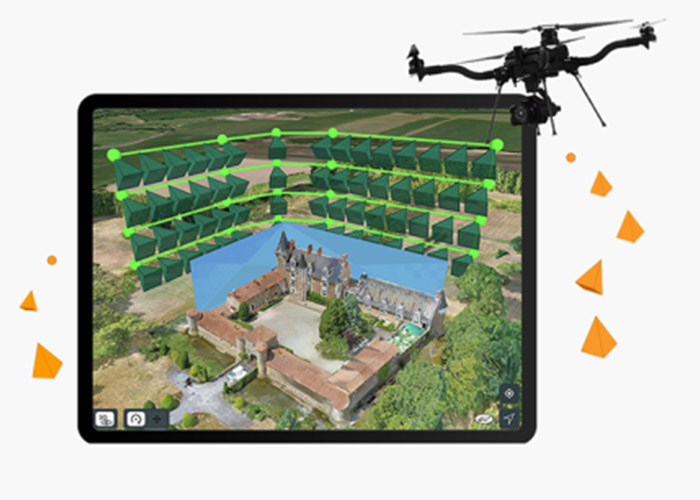
Data flows directly from DJI Dock 3, through HubX or HubT and into Curo, Sphere’s premier remote operations software, where missions are monitored and managed. From there, data is seamlessly pushed into Site Scan, where it is automatically converted into consumable cloud-based data products and distributed to stakeholders.
For customers, the immediate impact: workflows are streamlined, operational costs are reduced, and insights are delivered faster and more safely. From drone lift-off to cloud delivery, the process is fully automated, eliminating manual handling and reducing the risk of human error. This enables real-time reconciliation of stockpiles, supports repeatable data capture for environmental compliance reporting, and ensures timely delivery of trusted spatial products for decision-making. The result is reliable, ready-to-use maps and models that drive confident action.
“This partnership represents a major step forward in the way drone data is captured and delivered,” said Paris Cockinos, CEO of Sphere. “By integrating our HubX and HubT systems with Site Scan, drones can now capture data automatically and, within minutes, it’s available in Site Scan ready for decisions. No manual handling, no delays. Organisations can focus on outcomes, confident that the insights they rely on are flowing seamlessly to the right people.”
“Our collaboration with Sphere empowers organisations with smarter workflows,” said Brett Bundock, Managing Director of Esri Australia. “By automating the entire drone-to-cloud process, we’re helping customers unlock insights and value faster, reduce risk, make confident, informed decisions.”
For Sphere, the partnership reinforces its role as Australia’s leading provider of drone-in-a-box technology and highlights its ability to deliver advanced integrations that directly improve customer outcomes.
For Esri Australia, it marks a significant milestone in advancing automated geospatial intelligence. By integrating Site Scan with Sphere’s HubX and HubT systems, Esri Australia is enabling industries to unlock the full potential of drone data, from capture to cloud, with unprecedented speed and simplicity.

